Search the Community
Showing results for tags 'surveyor'.
Found 2 results
-
Hello. We have a situation where a licensed land surveyor made a map for a land owner that was accepted by the planning department. The map depicts a fence blocking off a trail that for reasons outside this forum is actually a public trail. The surveyor says the fence is legal because it is loca...
-
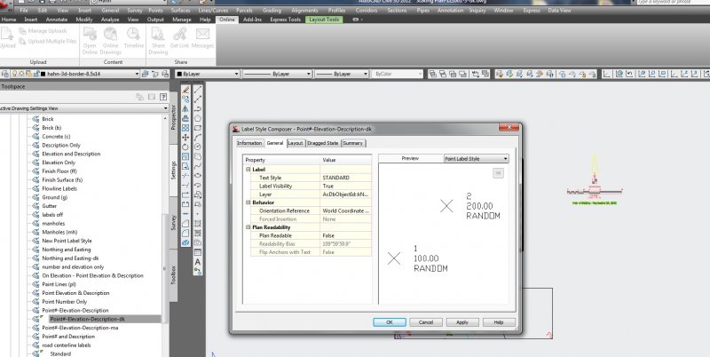
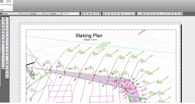
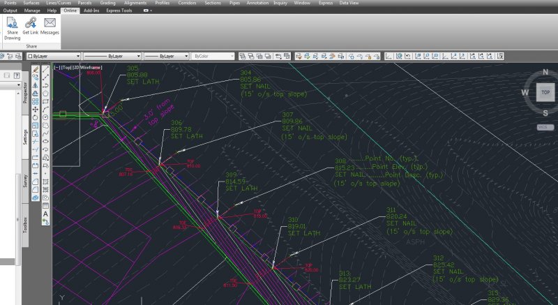
Hi All, I have a dwg that looks great in modelspace, however I created a couple paperspace layouts and then used AlignSpace to rotate to those views. The problem is that my point label style rotates the point labels based on the alignspace rotation. I looked into the point label settings and...