Leaderboard

Popular Content
Showing content with the highest reputation on 09/12/2021 in all areas
-
When in doubt, Check LEE MAC out! You'll be glad you did! Thanks Lee!2 points
-
I know that IT is not CAD but i recommend You qgis to geodesical things. Otherwise like @BIGAL said... Civil 3D1 point
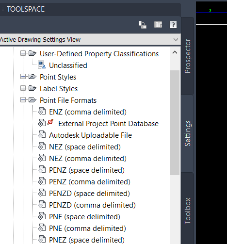
-
Yeah Civ3D is a pain type toolspace. So you can see no Lat long you actually have to go in and add it as a style, and set your world zone, then its easy.
 1 point
 -
Yep 40 years experience, like others need to discuss fee. There are many other here like Lee-mac, Tharwat, Maratovich, Ribarm, Pbe and more, if you go over to Autodesk forums even more who can do commercial work. 1 Where are you in the world 2 What industry are you in 3 In one paragraph what are you looking for. This will help narrow down an appropriate skill set.1 point
-
The quickest way is to use CIV3D which supports lat long input, I have downloaded photos from a phone, with tracking on they store the gps co-ord in the jpg used ghostscript to pull it out then placed all the photos on a survey plan. If you know someone that has CIV3d it would be like 2-3 minutes to download, make a dwg and re-email back. I am in wrong time zone for you or could do. I found the excel straight away google "Projection and Transformation Calculations" what was very interesting was that the VBA code is exposed, most times with this sort of thing its password protected. So you could edit the sheet and make it do multiple lat longs. you could then do a column answer with pline as top line and cut and paste to autocad. I am not real good at VBA but some one else may do it for you.1 point