Leaderboard

Popular Content
Showing content with the highest reputation on 03/29/2019 in all areas
-
Yes, I worked in the civil engineering field both in a drafting capacity and as a member of a three person survey crew for a municipality. I liked both the field work (I was a rodman, transitman and eventually an assistant crew chief) as well as the drafting aspect of the job. I gained a lot of experience "reducing" survey notes and creating a variety of drawings and maps based upon the data collected. Some examples would be plot plans, site plans, topo maps, sewer plan and profile drawings, cross-sections, etc. The jobs were both physically and mentally challenging and rewarding. My early experience working for a municipality eventually provided me with the opportunity to work for two privately owned civil engineering and consulting firms in the fields of highway design, industrial and municipal wastewater treatment and hydrogeology (groundwater monitoring and treatment). I finished out my career working for a small specialty chemical company creating many of the same types of drawings plus process piping and instrumentation diagrams. Re: records research. While working as a draftsman for the municipality I was required to research records mainly found in the Town Clerk's office. These would typically be deeds and copies of maps. I would also research any maps/drawings kept on file in the engineering, water and sometimes the building department as well as look through old field books that were compiled by the survey crews. On rare occasions I would travel to the state department of transportation to research highway maps or to the regional offices of AMTRACK to look at railroad right-of-way maps.1 point
-
Thanks, that's perfect! I was working through your CTX (and I'll add learnt a couple of things I didn't know along the way) to figure it out. However your mind must be that of an evil genius or so warped no one could follow it easily (well, not me anyway). Thanks1 point
-
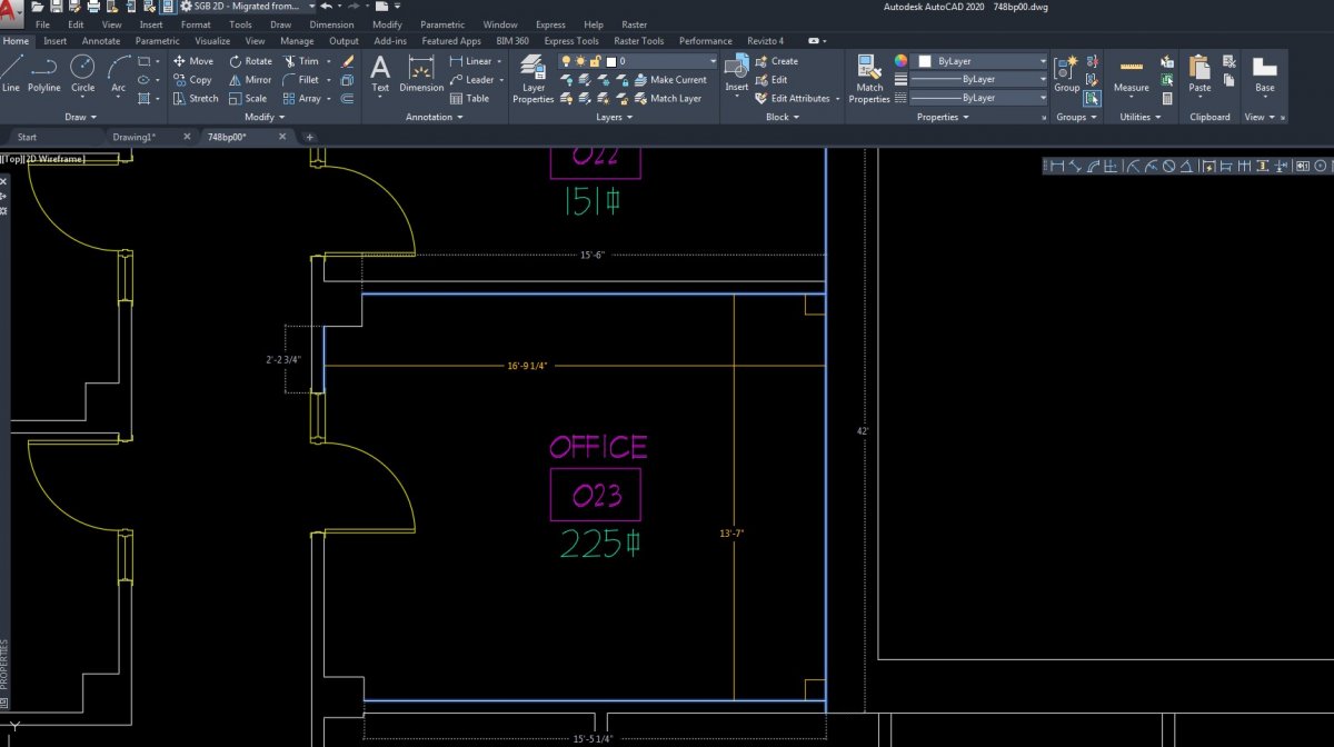
So far looking good. Loving the new 'Quick Measure' command. More to come....
 1 point
 -
If you don't mind getting your hands dirty, yes, surveying can be challenging. One story I heard was about a surveyor and his partner (you always have a buddy) who were mapping an urban area and interrupted a drug deal. Another was in a rural area and almost got pulled into quicksand. Surveying is not as complicated as civil, but it is more exacting. You have to be able to keep a map in your head under any conditions, with weather, traffic, wild animals, insects, mud, sewage, undergrowth, and every other conceivable obstacle blocking your way. You have to collect enough data to reconstruct that map back in the office. You can miss one point and have to revisit the site for half a day to find it and collect it. Some surveying firms do their jobs and no more. Some firms go the extra mile to make their drawings accurate and user-friendly. Those firms get a good reputation and will always have work.1 point
-
The selection method used by that program can be boiled down to the following in its simplest terms: (defun c:test ( / sel ) (initget "Settings Exit") (setq sel (entsel "\nSelect an object [Settings/Exit]: ")) ) From there, simply test the result type and branch accordingly: (defun c:test ( / sel ) (initget "Settings Exit") (setq sel (entsel "\nSelect an object [Settings/Exit]: ")) (cond ( (or (null sel) (= "Exit" sel)) (princ "\nUser exited.") ) ( (= "Settings" sel) (princ "\nUser selected Settings.") ) ( (princ "\nUser selected a(n) ") (princ (cdr (assoc 0 (entget (car sel))))) ) ) (princ) )1 point
-
Yes, you could find yourself drawing parcels as well as locating every object within, around and adjacent to the parcel. This could include, but not be limited to, trees, fences, streams, rivers, ponds, utility structures (ex. - manholes, catch basins, valve boxes, electrical transformers, etc.), utility poles, fire hydrants, railroad tracks, buildings (commercial, residential and industrial), sheds, loading docks, retaining walls, shrubs, dikes, swales, sidewalks, curbs, traffic control boxes, light poles, signage, etc., etc. etc. You could also be plotting elevations for the purpose of creating a contour map. It will depend on how big the survey company is and the type of work they specialize in. You could find yourself working for a survey firm that does location surveys for a state highway department or one that specializes in creating 3D point clouds of large industrial facilities to create an "as built" 3D model. Have you done any research on the company you are interviewing with? If not, why not?1 point
-
Romabels is a variable not a function. There should not be parentheses around it. (setq new_start_point (list 10 romabels (cadr start_point) (caddr start_point)))1 point